BioProtect aims to develop and promote an area-based management decision support framework to advance ecosystem-based Marine Spatial Planning (MSP) and mitigate multiple, interacting pressures from human activities in European seas.
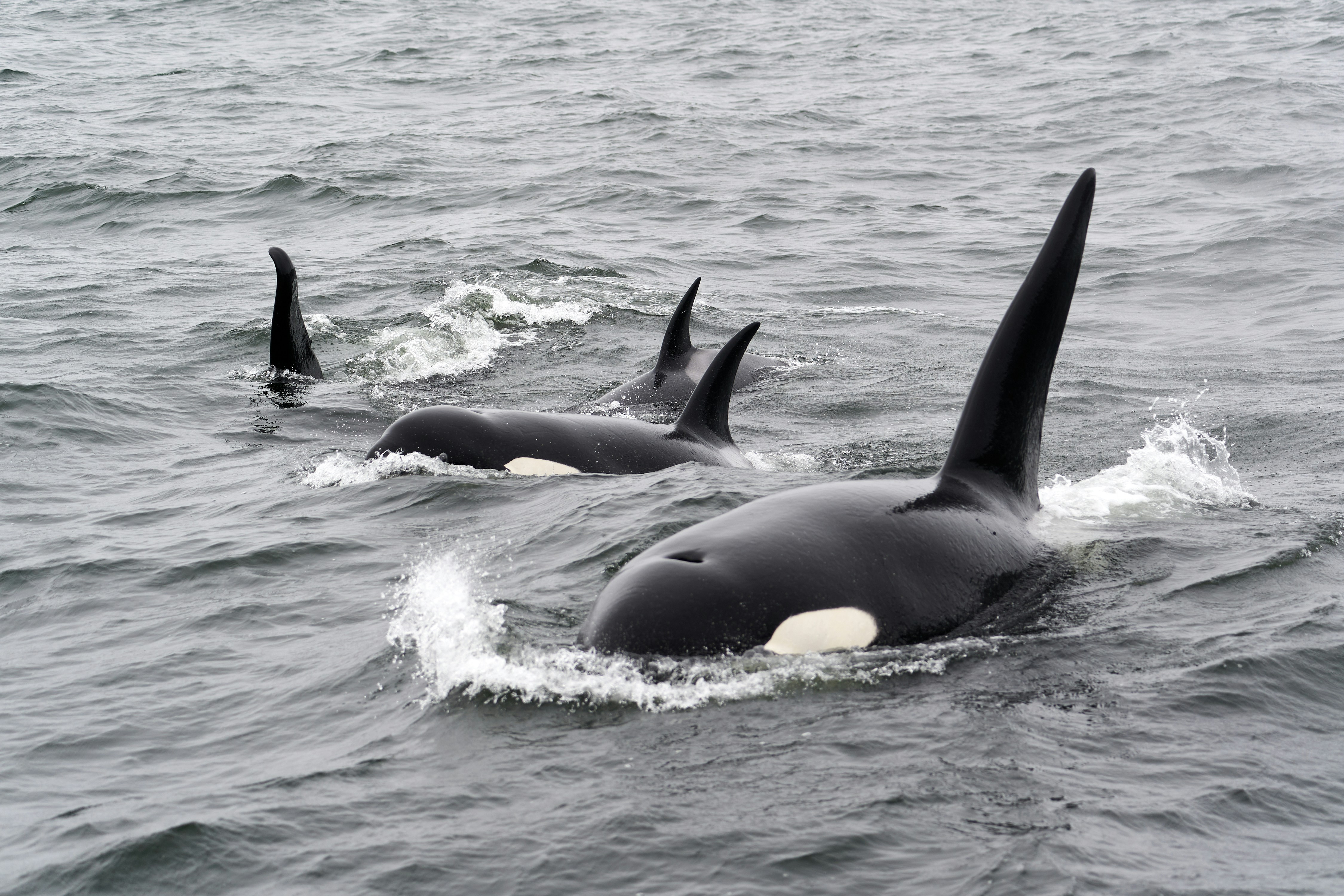
The Arctic Sustainability Labs work integrates ecological connectivity models, anthropogenic footprint and pressure maps, and citizen-driven mapping to create a more holistic understanding of the socio-ecological systems in the North Atlantic and Arctic.
We will be modelling ecological connectivity to identify blue corridors, which highlight the dynamic distributions of mobile species and their key habitats throughout the year. These models will additionally be paired with detailed maps of human activities, like vessel traffic, fisheries, aquaculture, and offshore energy, that can have impact on marine megafauna movements and habitats.
By linking connectivity models with cumulative anthropogenic footprint maps and resistance surfaces, we investigate how these pressures affect biodiversity and habitat use and how we can best reduce pressures on marine biodiversity.
CITIZEN INVOLVEMENT
Using Public Participation Geographic Information Systems (PPGIS), we will be engaging communities to map their priorities, values, and perceived threats across the demonstration sites. This citizen-driven data provides local knowledge about the threats, risks, and values associated with coastal human activities, ensuring that ecosystem-based planning is both relevant and grounded in local perspectives.


By combining ecological connectivity, anthropogenic pressures, and citizen-driven data, BioProtect will develop and promote multi-scale systematic conservation planning frameworks and tools to inform on area-based management decisions and ecosystem-based marine spatial planning for the protection and restoration of marine biodiversity.
View more about the project here.
