Identifying cumulative impacts of the infrastructure associated with industrial development on biodiversity and ecosystem services.
CurBES is a project researching how industrial development in the Arctic affects nature through development of infrastructure. CurBES is a collaborative effort between three institutions in Tromsø: UiT – the Arctic university of Norway, NINA and Nofima. The combination of skills between the three institutions is essential to incorporate science into land-use planning. CurbEs aims to improve cumulative impact assessments of biodiversity and ecosystem services in the landscape by taking into account the changes made by infrastructure such as roads and power lines.
The ripple effects of infrastructure associated with development interventions is an underexplored topic in biodiversity and ecosystem services research, and there are few tools available for land use planning and conservation. Our objective is to advance research in this area by synthesizing data to analyse cumulative impacts on biodiversity and ecosystem services and make them available at a resolution relevant to users of this data
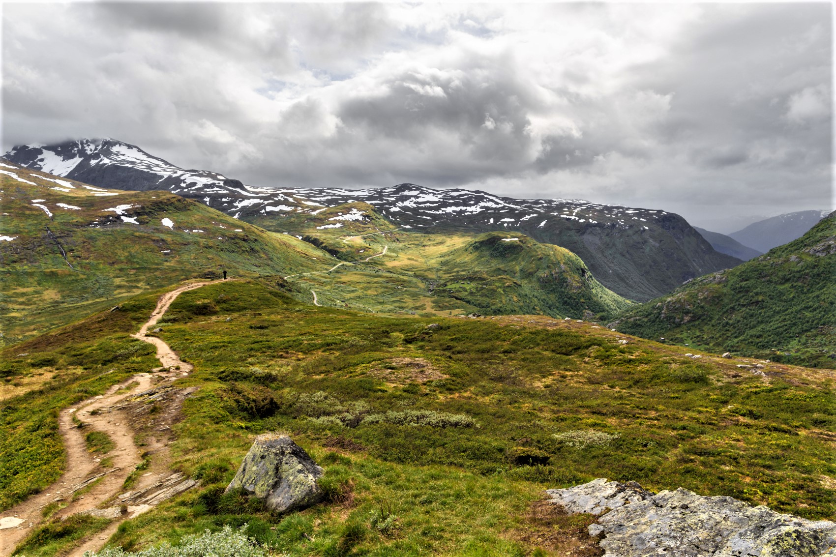
Small impacts can interact with each other and the combined effects can cause unintended consequences. A small dirt road may have little impact on biodiversity and ecosystem services on its own, but a power line placed parallel to the road leading to a windmill can in sum result in rapid loss of habitats and decline of species that live there. Do these different pieces of infrastructure add, cancel or multiply their effects? Do the effects extend their range due to the combination of infrastructure?
In order to address these questions, there is a need to create simple, easy to apply guidelines to apply tools for analyzing the combined impacts on biodiversity and ecosystem services. Such guidelines could help developers and land use planner assess the effects of the industrial development on nature, and choose the right tools to mitigate, reconstruct and restore habitats accordingly.
CurBES aims to respond to three main questions:
How does industrial development affect biodiversity and ecosystem services?
Here, our focus is on the effect of industrial development on biodiversity and ecosystem services seen from a local perspective. For that purpose, we asked people to map the areas they valued most, and to give us the reason why they did so. Our data show how people perceive nature, and we can analyze how do these values relate to infrastructure: how does a road affect the perception of nature? Do people prefer to stay close or distant to roads depending on what they value?
How do wildlife and plants use the landscape depending on development interventions?
For this question, we will work with existing databases, both from previous research projects and from publicly available data in GBIF, a global biodiversity database. We will model the distribution of the most important species in northern Norway, and create biodiversity maps where we can easily visualize which areas are more vulnerable to changes
How can we include biodiversity and ecosystem services in planning?
Combining the knowledge generated in the previous questions, we will guidelines and tools for land-use managers based on cumulative impacts of infrastructure development
